

This is my first time on a campus tour like this!
 |
Description
Book Introduction
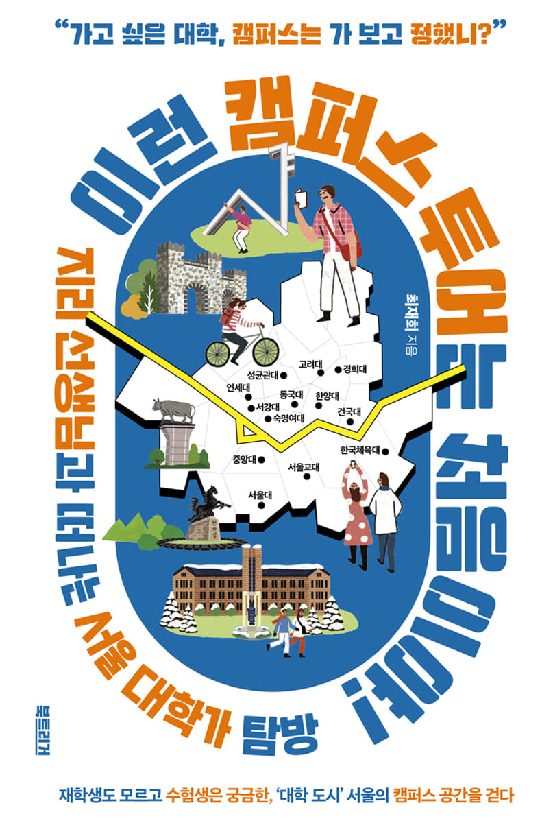
“Why is that university there?”
The history of Seoul's university districts, unknown even to current students but curious to test takers!
'Campus tours' are trendy.
Students and their parents visit university campuses to get a sneak peek at admissions information and university life.
Even students suffering from entrance exam stress often take this time to envision their future "campus life" and stroll around the campus of their dream university with excitement.
However, it is difficult to grasp the stories hidden in every corner of the campus by simply taking in the grand buildings, comfortable facilities, and the appearance of the wonderful seniors.
Why did the university I want to attend end up in that particular location? Why did this topography and building layout come about? How did these geographical and spatial characteristics become each school's unique characteristics? A closer look at a campus inevitably leads to specific questions.
The author, who has long explored "geography in everyday life" as a geography teacher at Whimoon High School and an EBSi instructor, has prepared a unique campus tour that stemmed from the curiosity of one of his students.
As you walk along the streets and alleys of Seoul's major universities with the author, the flat landscapes you've passed by will come to life in three dimensions and speak to you.
Once you understand the natural conditions and cultural background of a space, college becomes a vivid story, not a simple "goal" arranged solely by grades.
- You can preview some of the book's contents.
Preview
index
Introduction: A geographical campus tour like this?
Part 1.
Want to visit a hot place near the university?
01.
A splendid commercial district with a magnificent lake - Konkuk University
02.
Feel the Time in Sinchon, Between Hongik University and Ewha Womans University - Yonsei University
03.
Passing through the International Students' Street to the 'Peace Hall' - Kyunghee University
A TMI you'd be remiss to overlook: Have you heard of the Troika power struggle? The epic battle between Kyung Hee University, Hankuk University of Foreign Studies, and Seoul National University!
Part 2.
Our school is raised by the country!
04.
Look up and see Gwanak! - Seoul National University
05.
The History of the Transit University that Runs Through Gangnam - Seoul National University of Education
06.
The ancient Baekje castle site, embracing the glory of the Olympics - Korea National Sport University
TMI you'd be remiss to overlook: Universities are brands, and the milk-and-soy milk wars are on.
Part 3.
A religion with character, a school with character
07.
Smell the scent of Buddhism while exploring the Chungmuro area - Dongguk University
08.
A Cozy History of Architecture in Red Bricks - Sogang University
09.
Climb to Sungkyunkwan and see the past at a glance - Sungkyunkwan University
A TMI you'd be remiss to overlook: Let's go on a trip! The geographical characteristics of the MT location.
Part 4.
Stroll through the nature-filled schoolyard
10.
Ask the Stones! Ancient Past and Future - Korea University
11.
Breaking Down the Wall and Standing Tall in the Square - Chung-Ang University
12.
Following the Old Railroad to the Future City of Yongsan - Sookmyung Women's University
13.
Crossing the Cloud Bridge over Dumulmeori - Hanyang University
TMI that's too good to miss: Is this going to school or hiking?
Why is our school on a hill?
[Appendix] Visiting Overseas Universities
Detailed image
Into the book
The location of Seoul National University is also closely related to the urbanization process of Seoul.
Even just a hundred years ago, Seoul (Hansung) was nothing more than a walled city within the four great gates centered around Jongno.
However, the castle quickly lost its function after the introduction of the chariot and was dismantled.
As Seoul's outer periphery expanded rapidly, its population also grew exponentially.
(...) The campus and the surrounding area have had a mutually coexisting or complementary function.
For example, Korea University is like that.
The narrow, long residential area that extends deep into the Gaeunsa Temple area provides a clue to the expansion of Korea University's campus.
The contrast between Gangnam and Gangbuk is also an interesting point.
Among the universities in Seoul, the ones with the longest history are generally located north of the Han River.
On the other hand, most relatively young universities and campuses are located south of the Han River.
(...) It was quite an unconventional move at the time for Chung-Ang University to establish its campus in Heukseok-dong and Soongsil University to establish its campus in Sangdo-dong.
However, both universities have something in common: they were located near Yeongdeungpo, the most prosperous area south of the Han River.
---p.8~9 (Introduction: A geographical campus tour like this?)
The situation is similar not only in the Konkuk University Station section, but also in other above-ground sections.
Line 2 trains also run above ground between Hapjeong Station and Yeongdeungpo-gu Office Station, between Sindap Station and Seongsu Station, and between Daerim Station and Sindaebang Station.
Among these sections, only the section from Hapjeong Station to Yeongdeungpo-gu Office Station is raised above ground for a short time for the purpose of crossing the Han River, and the bedrock of the remaining sections is all soft, riverside alluvium, which is not solid.
The degree of urbanization at the time of construction would also have been a variable.
Nowadays, there is no neighborhood in Seoul that is not bustling around a train station, but even when the railroad was being laid, the population density around the line was low.
Naturally, there was little need to consider the city's appearance, and there was not much opposition from residents.
There was no need to hide the railroad underground while spending more on construction costs.
---p.21 (Chapter 1: A Gorgeous Commercial District Embracing a Magnificent Lake - Konkuk University)
What is unique is the size of the main gate, the Sasamun Gate.
Compared to the majestic Cheonglammun Gate that we passed before, the main gate feels more like a back gate.
Was it really necessary to make the back door larger than the main door? If you carefully examine the spatial clues, you'll quickly find the answer this time, too.
(...) But if Seochojungang-ro had been a major road when the campus was first built, wouldn't the main gate have been built there from the beginning? From here, we can naturally infer the history of the space.
When the Seoul National University campus was built, there would have been more people walking along Saimdang-ro.
However, with the construction of the Gyodae Station and the establishment of the Law Town, the status of Seocho Jungang-ro, which connects Seoul Express Bus Terminal and Seoul Nambu Bus Terminal, will have risen.
So, the back gate rebellion was a success! In fact, if you look at a map from the 1970s, you can see that the area around the current main gate was a village, while the area around Gyodae Station was farmland along the river.
---p.101~103 (Chapter 5: The History of the Gyodae that Runs Through Gangnam - Seoul National University of Education)
Mongchon Toseong, located in the thick greenery on a low hill, was discovered when relics were excavated during the construction of Olympic Park. The toseong was preserved as much as possible and renovated into the park it is today.
In contrast, the earthen fortress of Pungnap-dong, built on the plains around the Han River, has not been properly protected during the urbanization of Seoul, and has remained in poor condition to this day.
Therein lies the paradox of urbanization.
The earthen fortress in Pungnap-dong, located in a low-lying area, was developed relatively quickly, but as a result, its form was not preserved.
Meanwhile, Mongchontoseong, which had been in a slump, was developed systematically with the Olympics in mind, and now remains in its current form.
---p.129~130 (Chapter 6: Baekje's Ancient Castle Site, Embracing the Glory of the Olympics - Korea National Sport University)
As I was organizing my thoughts at Dasan Hall, my eyes suddenly caught sight of the red bricks.
The building, neatly finished with red bricks, is actually a representative architectural style of Catholic churches in our country.
Most Catholic buildings, including the Basilica of St. Ignatius, which we passed by earlier, were built primarily with red bricks.
Think of an old cathedral you came across while traveling, or a cathedral in your neighborhood.
Aren't most of them actually built with red brick? For what reason?
---p.168~170 (Chapter 8: A Cozy History of Architecture in Red Bricks - Sogang University)
But today, it seems that the current Sungkyunkwan University is eating up the good site of the old Sungkyunkwan.
What does that mean?
Of course, the location of the old Sungkyunkwan will not change, whether it was in the past or present.
However, the current Sungkyunkwan University has grown in size day by day.
As the campus expanded, it gradually took over the site of the old Sungkyunkwan, encroaching on the hilltop, or in other words, the ridge where the energy of the land flowed.
Unlike in the past when a Confucian temple (a shrine to Confucius) was enough to function properly, a comprehensive university would have needed as much space as possible.
So, Sungkyunkwan University has to have a narrow and long entrance, and the buildings have to be high-rise and compact on high ground.
---p.189~190 (Chapter 9: When you climb to Sungkyunkwan, you can see the civil service examination at a glance - Sungkyunkwan University)
Meanwhile, the fact that both the traditional Gyeongchun Line and the emerging Yangpyeong Line are geographically closely connected to the Han River is particularly interesting when examining the geographical factors of MT locations.
(...)
The Gyeongchun Line route is laid carefully along the very narrow and sharp valley of the Bukhan River.
MT villages like Daeseong-ri, Cheongpyeong, and Gapyeong are located in spaces where the steep, narrow gaps in the valleys slightly widen.
(...)
The Yangpyeong Line, a new attraction in MT, passes through Ungilsan Station and Yangsu Station, and connects to Yangpyeong and Yongmun Stations.
After passing Yangsu Station, famous for being the meeting point of the Namhan River and Bukhan River, you will pass through narrow and wide spaces along the Namhan River, creating a variety of spaces.
(...) Although the road is divided by the Bukhangang and Namhangang Rivers, both MT spots boast outstanding scenery thanks to the terrain formed by the splitting of the land long ago.
Perhaps that is why it has become a place frequently visited by college students.
---p.194~195 (TMI you'd be remiss to ignore: Let's go on a trip! Geographical characteristics of MT locations)
It is said that Cheongryong Pond, created in 1968, was originally a natural pond with a small ecosystem.
However, in 2010, the university changed it into an artificial pond.
(...)
Even though it is now an artificial pond, the fact that it was originally a natural pond is geographically interesting.
(...) Gneiss is a rock that inhibits drainage.
The band-like structure developed in the gneiss prevents water from draining away.
(...) So, in the valleys of mountains and hills made of gneiss, water can be secured in abundance.
In other words, it means that the ecological potential is high.
---p.229~231 (Chapter 11: Breaking Down the Wall and Standing Tall in the Plaza - Chung-Ang University)
Hanyang's method is a novel method that takes full advantage of the steep slope of the campus, connecting buildings on different floors with sky bridges.
For example, if you enter the main entrance of a building, you will reach the second floor, and if you cross the cloud bridge from there, you will reach the third floor of the building next door.
Looking at the tall glass elevator structure across from the main sports field, Hanyang University's efforts to improve the convenience of moving on slopes stand out once again.
---p.265 (Chapter 13: Crossing the Cloud Bridge Over Dumulmeori - Hanyang University)
If you head northeast from Oxford, you will come across the University of Cambridge.
The roots of Cambridge University are actually Oxford University.
In 1209, a major conflict broke out at Oxford University between university students and Oxford residents.
Taking advantage of this gap, some researchers from Oxford University moved to Cambridge and founded a new university, the University of Cambridge.
So, the system of Cambridge University is very similar to that of Oxford University.
Cambridge also faithfully embodies the image of a university town.
Cambridge is run by the River Cam.
The Cam and Thames rivers are different only in location, but their geographic grammar is the same based on bedrock.
---p.291 (Exploring Overseas Universities: Long-Time Rivals, Geographical Twins? - Oxford University and Cambridge University)
Publisher's Review
From 'hot places' to landmarks and natural landscapes with stunning views
A spoonful of romance, two spoonfuls of geography, a sneak peek at Seoul University!
There are over forty universities concentrated in Seoul.
It is truly a 'university town'.
The influence of Seoul's universities has long extended beyond the campus walls.
In that sense, the places where universities are located have become unique cultural landscapes and parts of history.
As we delve into the locations of each university, we come across stories of previously unseen spaces.
Why are the back gates of Konkuk University and Seoul National University of Education busier than the main gates? What were the conditions that allowed Korea University and Hanyang University to actively utilize their underground spaces? How are the historical roots and future directions of each university engraved in their spaces?
All these questions are related to Seoul's history and natural conditions.
The 'Konkuk University Commercial District' and 'Sinchon Commercial District', representative commercial districts of Seoul, have an inseparable relationship with the surrounding universities.
The history of Seoul National University of Education and Korea National Sport University is an interesting microcosm of the development of Gangnam and the urbanization of Seoul.
Meanwhile, Korea University's majestic architectural style is a natural result of the bedrock of the surrounding area, and the gentle slopes and ponds of Chung-Ang University are also part of the school's landscape, created by other rocks.
In this way, universities have always interacted closely with the surrounding areas.
"This is my first campus tour!" is a book for students and their parents, as well as anyone who wants to see the college landscape in a new way.
The universities introduced in this book each have a variety of charms.
Each chapter is well-structured, starting with an introduction to the school, followed by a discussion of its geographical features, history, and surrounding geography. It also includes stories about subway stations and nearby landmarks.
It will be full of unfamiliar and interesting stories for students who go to and from school every day.
Covering 13 universities in Seoul and 8 universities abroad
A college tour guide for prospective freshmen!
This book is divided into four major parts.
Part 1: Want to visit the hottest places in the university district? tells the story of the university district, a 'hot place' that has established itself as a representative commercial district in Seoul.
The stories of Konkuk University, Yonsei University, and Kyunghee University demonstrate how universities and bustling cities have positively influenced each other and grown together.
Part 2: Our School is Raised by the Nation! contains stories about the geography of national and public universities.
In particular, the stories of Seoul National University of Education and Korea National Sport University are deeply connected to the urbanization process of Seoul, which adds to the interest.
Part 3: Religion with Charm, School with Sentiment tells the stories of schools that have had close ties to religion.
The stories of Dongguk University, Sogang University, and Sungkyunkwan University are also stories that unfold as cultural traditions and spaces become intertwined.
Finally, in 'Part 4: Strolling through Schoolyards Embracing Nature', we introduce schools with beautiful scenery or interesting natural environments.
Additionally, the 'University Area' section inserted in the main text and the 'TMI You Don't Want to Miss' section, which is organized into separate pages for each section, do not stop at geography stories but cover information and stories that can be expanded upon.
You will be able to gain a wealth of new information, from the author's recommended date courses for exchange students to the geography of MT locations.
The appendix includes location points of eight famous overseas universities, making reading more enjoyable.
As you read this book, you will feel like you are exploring a vibrant space, rather than the boring school you have to go to every day.
Geography is not simply information; it is living knowledge that transforms abstract spaces into concrete places.
GOODS SPECIFICS
- Date of issue: April 15, 2025
- Page count, weight, size: 300 pages | 472g | 140*208*20mm
- ISBN13: 9791193378410
- ISBN10: 1193378419
You may also like
카테고리
korean


korean

![GQ KOREA Mark (Monthly): December [2025]](http://librairie.coreenne.fr/cdn/shop/files/8ef265dbbfbf186523ed75ba7319009d.jpg?v=1765340328&width=3840)


