

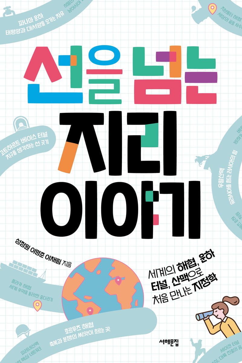
A geography story that crosses the line
 |
Description
Book Introduction
Reading the invisible flow of the world as a ‘line’!
Geopolitics, first encountered through the world's straits, canals, tunnels, and mountain ranges
My life is inevitably influenced by the movements of the world, and these currents are so rapidly changing and tangled that they are difficult to understand at a glance.
One effective way to overcome this barrier is geopolitics, which interprets changes in global politics and economy through the lens of geography.
The book focuses on the world's straits, canals, tunnels, and mountain ranges, helping young people develop a perspective on the world from a geopolitical perspective.
These twelve locations are shaped like lines, representing 'boundaries between regions with different characteristics.'
Authors who teach geography in schools tell us why certain things happen in certain places and what might happen in the future.
It carefully describes not only the geographical features of each place, but also how that place is connected to other areas.
To make reading stories about unfamiliar regions more enjoyable, we have included over 90 images, including maps, diagrams, and photographs.
The 'Stories Beyond the Line' corner introduced interesting episodes or explained complex geographic concepts.
After crossing all twelve borders in the book, you will gain a three-dimensional view of the world's politics, economy, culture, and history connected to these places.
You will also be able to easily understand the regions and concepts taught in middle school social studies, high school integrated social studies, world citizenship and geography, and Korean geography exploration classes.
- You can preview some of the book's contents.
Preview
index
Entering
Part 1.
straits
The Strait of Malacca: A Tug-of-War Surrounding Global Trade
The fastest route connecting the Indian and Pacific Oceans
The card called International Strait
China's 'Mlacca Dilemma'
The future brought by the Kra Canal
*A Story Beyond the Line _ Malacca, a City Preserving the History of East-West Trade
Bering Strait - A Path Opened by Glaciers
Homo sapiens crosses the line
The United States and Russia Draw a Line
*A Story That Crosses the Line _ Seward, From Traitor to Hero
Reconnecting the Line: From London to New York
Major routes of the Northern Sea Route
The Strait of Hormuz - Where the Seeds of Blessing and Conflict Flow
South Korean oil tanker seized
Political conflict in the Strait of Hormuz
The problem isn't the price of oil.
Why is this place so difficult to get through?
*A story that crosses the line _Territorial waters and innocent passage
New Choice, Red Sea
Strait of Gibraltar - Defend the End of the World
The Pillars of Hercules: Ushering in the Age of Exploration
A forward base for expansion into Europe
*A story that crossed the line _ The Mediterranean was a desert
After Brexit: Between Britain and Spain
The economic value of the Strait of Gibraltar
Part 2.
Canals and tunnels
Suez Canal - An Inexhaustible Resource
A single ship disrupts the flow of global logistics.
The link between the sea and the sea
Until we return to the bosom of Egypt
*A Story Beyond the Line _ 500 Years of Challenges: Gulpo Canal and Anmyeon Canal
The Suez Canal is a smartphone
Panama Canal - Freedom to travel between the Pacific and Atlantic Oceans
Is there a country that was created because of a canal?
The persistent ambition has come to an end
*A Story Beyond the Line _ Panama vs. Nicaragua
Becoming the center of Panama's economy
Crises caused by climate change
Seikan Tunnel - Japan's Pride, Dream of Expansion into the Continent
The challenges left by the tragic sinking
Towards Hokkaido, the land of balanced development
*A Story That Crosses the Line _ The Suffering of the Ainu
Breaking down the boundaries between culture, economy, and the mind
From Russia to Europe, from Busan to India?
Gotthard Base Tunnel - Drawing a Line for the Earth
What Hannibal and Napoleon have in common
The Alps, a wall stretching from east to west
Breaking Through the Barrier: Connecting the North Sea and the Mediterranean
*A Story Beyond the Line _ Three Principles for Spatial Interaction
Safety over efficiency, environment over money
Part 3.
mountain range
Himalayas - The Battle for South Asian Hegemony
The roof of the world dividing India and China
Peace that cannot even protect natural borders
Between 1.4 billion Chinese and 1.4 billion Indians, there are 800,000 Bhutanese.
Nepal, looking beyond the Himalayas
*A Story That Crosses the Line _ A Kick to the Pride of India and Pakistan
The Ural Mountains - Russia's Power Shaking Eurasia
Why Russia is the world's largest country
The border between Europe and Asia
The Birth of a Train Connecting Resources and People
What the Ukraine War Means
*A Story Beyond the Line _ A Journey on the Trans-Siberian Railway
The Great Dividing Mountains - The Future of Resource-Powered Australia
The great line dividing the climate
Where does Australian beef come from?
Over the mountains to the west in search of gold
The Key to Mineral Trade: Economy in Asia, History in Europe
*A Story Beyond the Line _ The First Australian, Aborigine
The Pyrenees - A Core Network of European Union Railway Projects
Putting an end to the Franco-Spanish War
The Origins of the Catalan and Basque Independence Protests
A long-awaited dream: land transportation across mainland Europe
*A story that crosses the line _ Andorra, a country above the Pyrenees
References
Detailed image

Into the book
Oil-producing countries in the Persian Gulf would inevitably suffer huge economic losses if Iran blocks the Strait of Hormuz.
Accordingly, Saudi Arabia and the United Arab Emirates are building and operating pipelines that bypass the Strait of Hormuz.
…if the sea route from the Persian Gulf to the Indian Ocean had not been as narrow as the Strait of Hormuz, conflicts between countries over crude oil transport would not have been so great.
The Strait of Hormuz illustrates how geography can influence relations between nations.
For Iran, the narrow Strait of Hormuz, a natural barrier, will feel like a gift from God.
However, unlike in the past when it was thought that no one could resist because God had created it, today there are active efforts to overcome this situation.
Relations between nations are not absolutely determined by nature, as Saudi Arabia and the United Arab Emirates have done with their pipelines bypassing the Strait of Hormuz.
You can overcome nature and create new relationships.
--- pp.58-59
The United States invested enormous amounts of capital and labor, dreaming that if it could build the Panama Canal, it would be able to control the flow of global logistics.
Panama's interior is higher than sea level, so it was necessary to build a lock canal (a canal that controls the water level by blocking or releasing water through locks).
It was a task that was difficult to even imagine, like water flowing up a mountain.
But the United States persisted until the end and eventually completed the Panama Canal in 1914.
…the Panama Canal paid for itself as soon as it opened.
Not only did it contribute to the growth of the United States as a logistics hub, but during World War II, the Panama Canal allowed U.S. naval fleets active in the European theater to quickly cross into the Pacific.
So, it was possible to fight in two oceans, the Pacific and the Atlantic, without having to divide military forces significantly.
Even during the Cold War that followed, the power of the U.S. Navy, which could freely navigate the two largest oceans in the world, posed a significant threat to the Soviet Union.
--- pp.99-102
The period when Hokkaido's geopolitical value was actively studied was when Japan, harboring imperialistic ambitions, was attempting to advance into the continent.
There was a plan to build a so-called 10,000 km railway.
Japan dreamed of building an undersea tunnel to connect Honshu and Hokkaido, then connecting Hokkaido with Sakhalin and further to Russia, and then connecting to Europe via the Trans-Siberian Railway.
There was also a plan to connect Busan to the railway through the seabed and use it to connect to Southeast Asia and India via China.
In this way, Japan sought to become a global logistics hub, connecting the Eurasian continent through railways and America through Pacific ports.
The first step in that plan was an undersea tunnel connecting Hokkaido and Honshu.
In other words, the idea of crossing the sea boundary through the Seikan Tunnel existed even before the tunnel was built.
--- p.123
As Nepal and China grow closer, India is trying to reestablish friendly relations with Nepal.
In 2016, India provided a $750 million loan (approximately 844 billion won) to Nepal to help rebuild after the earthquake.
In addition, the two countries promised economic cooperation by discussing projects such as improving border highways and exchanging electricity.
But China did not back down from its relationship with Nepal.
In 2019, China granted Nepal the right to use its ports, roads, and railways for trade purposes.
Due to its geographical characteristics, Nepal was blocked from advancing north by the Himalayas, and even when dealing with India or third countries, it had to go through India.
But China's move has opened up opportunities for Nepal to reduce its trade dependence on India and reach out to the world beyond the Himalayas.
China and India are competing to provide benefits to Nepal in their quest for hegemony in South Asia.
An opportunity arose for Nepal, which had been isolated due to its unique geographical location in the Himalayas.
It will be interesting to see how Nepal will leverage India and China to advance into the world in the future.
--- p.159
Publisher's Review
Why does the US want the Panama Canal?
Why does Iran keep blocking the Strait of Hormuz?
Is the Russo-Ukrainian War Related to the Ural Mountains?
The starting point of your Hokkaido trip is the Seikan Tunnel?
Reading the invisible flow of the world through geography!
Shaking up world politics and economy
Connecting and sharing culture and history
The Power of the Twelve Boundaries
There is a line that divides or connects land and land, sea and sea.
These are places that 'serve as borders between regions with different characters.'
Lines exist in visible forms, but they also serve as invisible political and cultural boundaries.
Some are formed naturally, such as mountain ranges or straits, while others are intentionally created by humans, such as tunnels or canals.
This line is where regional conflicts arise and where active exchanges take place.
《Geography Beyond the Line》 explains why these things happen in this place and what will happen next.
It carefully conveys not only the geographical characteristics of each place, but also how that place is connected to other regions.
For example, the Suez Canal is a line drawn between Asia and Africa, which were connected by land, and it is a line that connects the Mediterranean Sea in Europe, the Indian Ocean in Asia, and further, the Pacific Ocean.
As ships carrying all kinds of goods, including oil, passed through here, this line, which took the form of a waterway, became an important route for transporting goods and military operations.
If an accident temporarily blocks shipping routes or the political situation in Southwest Asia becomes unstable, international oil prices will soar and logistics will be disrupted around the world.
The story doesn't end here.
The Suez Canal is linked to the Bering Strait, a major route in the Northern Sea Route, which is attracting attention.
The Seikan Tunnel, which connects Honshu and Hokkaido, reveals Japan's ambitions.
It brings us to the long-standing Spanish plan to cross the Pyrenees and enter mainland Europe.
The book introduces only twelve places, but after reading it all, you will be able to understand the flow of the world connected to these places.
You will understand why the United States demands the Panama Canal back, why Iran pressures the international community by threatening to block the Strait of Hormuz, and why Russia is waging war against Ukraine west of the Urals.
Easy and three-dimensional explanations from geography teachers
Rich maps, diagrams, and photos that help you understand complex content at a glance.
All the regions and concepts you learn in geography and social studies classes, all in one place!
Meanwhile, the story of the Gotthard Base Tunnel explores the history of the Alps, which divides languages and religions and connects the North Sea and the Mediterranean Sea, and Switzerland's geopolitical advantages.
Furthermore, it reveals that the purpose of this tunnel is to preserve the glaciers of the Alps rather than for economic gain.
Thus, it leads us to imagine not only 'how to connect the line that crosses the barrier' but also 'what line will cross the barrier'.
The geography teachers' three-dimensional explanations show how fascinating it is to see the world through a new perspective called geopolitics.
It shows how the power struggle between India and China in the Himalayas is linked to Nepal's rise, and how a single line, the Strait of Malacca, has placed the powerful nation of China in a dilemma.
Young readers can develop the ability to analyze events from diverse perspectives and develop a global citizenship that empathizes with global issues such as climate change and conflict.
We've included over 90 images, including maps, diagrams, and photographs, to ensure that even stories from somewhat unfamiliar regions can be read with curiosity and interest.
The concepts and regions learned in school classes are also incorporated, making it easy to understand middle school social studies, high school integrated social studies, global citizenship and geography, and Korean geography exploration subjects.
GOODS SPECIFICS
- Date of issue: April 7, 2025
- Page count, weight, size: 216 pages | 298g | 140*210*15mm
- ISBN13: 9791194413295
- ISBN10: 1194413293
You may also like
카테고리
korean


korean

![ELLE 엘르 스페셜 에디션 A형 : 12월 [2025]](http://librairie.coreenne.fr/cdn/shop/files/b8e27a3de6c9538896439686c6b0e8fb.jpg?v=1766436872&width=3840)


