

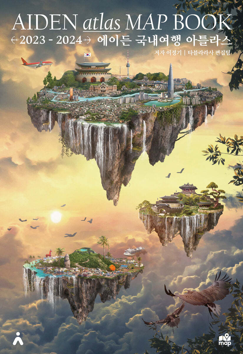
Aiden Domestic Travel Atlas Map Book
 |
Description
Book Introduction
A comprehensive collection of domestic travel maps produced in A3 format.
Tabula Rasa, a bestselling travel publisher, released the 2023 Aiden Domestic Travel Atlas MAP BOOK.
This book is the most complete version to date, compiling all the domestic travel maps produced by Aiden Travel Maps from 2017 to 2023 into a hardcover volume.
The map was previously made to be foldable for posters or portable use, but to celebrate its 7th anniversary, a commemorative version has been created that is extra sturdy and durable.
It includes a map of South Korea's administrative districts, a national travel map of the central and northern regions, a map of each province that is being released for the first time, a map of Jeju Island, a map of Busan, a map of Seoul, a historical map, a hiking map, and a camping map.
index
04 National Travel Map
04 Map of South Korean administrative districts
06 National Travel Map - Central and Northern Region
08 National Travel Map - Central and Southern Region
10 Travel Maps by Province
10 Gangwon-do
12 Northern Gyeonggi Province
14 Southern Gyeonggi Province
16 Gyeongsangnam-do
18 Gyeongsangbuk-do
20 Jeollanam-do
22 Jeollabuk-do
24 South Chungcheong Province
26 North Chungcheong Province
28 Jeju Travel Map
28 Western Jeju Island
30 Eastern Jeju Island
32 Jeju Main Areas-1
34 Jeju Main Areas-2
36 Busan Travel Map
36 Major areas of Busan
38 Busan enlarged map
40 Busan Metropolitan City Entire Map
42 Seoul Travel Map
42 Major areas of Seoul, western part
44 Major areas of Seoul, eastern part
46 West of downtown Seoul
48 Eastern part of Seoul's old downtown area
50 Map of the entire Seoul Metropolitan City
52 Map of our country's history
52 Northern part of our country's historical map
54 Southern part of our country's historical map
56 Korean Mountaineering Map
56 Hiking Map Central and North
58 Hiking Map Central and Southern Region
60 Camping Map of Korea
60 Camping Map Central and North
62 Camping Map South Central
Detailed image

Publisher's Review
It includes a map of South Korea's administrative districts, a national travel map of the central and northern regions, a map of each province that's being released for the first time, a map of Jeju Island, a map of Busan, a map of Seoul, a historical map, a hiking map, and a camping map. It seems there's a misconception that analog is outdated and bad.
Tabula Rasa is also moving towards digital, but currently sticks to analog travel information methods.
Because analog doesn't always mean it's inconvenient.
We will continue to provide the 'convenience' that is difficult to provide with digital machines through analog paper until the day analog ends.
It's not cheap.
This comprehensive travel map book, produced exclusively by Tabula Rasa Publishing, is undoubtedly worth collecting.
# Into the map
Pungsuwon Cathedral
Its unique red bricks and Gothic-style bell tower make it a famous filming location for movies and dramas.
Anbandegi
A place with highland vegetable fields located in a highland area at an altitude of 1100 meters above sea level.
The highland cabbage fields spread out wide along the mountain ridge, and the wind power plant on top of them creates an exotic feel.
Andong Hahoe Village
It is a UNESCO World Heritage Site and the hometown of Prime Minister Ryu Seong-ryong, who recommended Yi Sun-sin and Kwon Yul.
Ryu Seong-ryong wrote the Jingbirok here.
This is a place that produced talented people who saved the country, so this is a place of great fortune.
Cross the waterway and climb up to Buyongdae to see a picturesque view of the village.
Busan Amisan Observatory
This is a famous observatory in Busan where you can see whales and lilies.
Jeongnimsa Temple Site and Five-Side Stone Pagoda
A temple and pagoda built on flat land when Baekje moved its capital to Buyeo.
A typical Baekje temple layout with one pagoda and one golden hall
Damyang Metasequoia Road
The 8.5km long Metasequoia-lined road won the grand prize in the '100 Most Beautiful Roads in Korea' in 2006.
Jin Yang-ho
An artificial lake and a well-decorated observatory located where the Gyeongho River and Deokcheon River meet.
Famous as a filming location for the movie Sky Garden.
Connected to the zoo and Jinju Land
“Aiden Domestic Travel Atlas MAP BOOK” is a hardcover book that compiles the most up-to-date maps created through seven years of research on domestic travel destinations.
While the A1-sized national travel map has been a bestseller, it has been difficult to provide more detailed information due to its size limitations.
So, over the past two years, we have created separate travel maps for each province and have included them all in this atlas.
I believe this book could be the best guide among the existing domestic travel books, maps, or content.
I think that if you own one, its value will be enormous.
GOODS SPECIFICS
- Date of issue: July 16, 2023
- Format: Hardcover book binding method guide
- Page count, weight, size: 64 pages | 1,312g | 305*427*14mm
- ISBN13: 9791190073196
- ISBN10: 1190073196
You may also like
카테고리
korean


korean

![ELLE 엘르 스페셜 에디션 A형 : 12월 [2025]](http://librairie.coreenne.fr/cdn/shop/files/b8e27a3de6c9538896439686c6b0e8fb.jpg?v=1766436872&width=3840)


