

A full-course world geography course taught by a geography nerd.
 |
Description
Book Introduction
World maps, knowing how to read them enriches your life.
This is an introductory book to geography and geopolitics that explains world geography, which can be perceived as difficult, from a traveler's perspective.
You can take a step forward as a world map expert without having to memorize only interesting stories from around the world.
The extraordinary fun begins for those who explore the world, allowing our eyes and feet to encounter a wider world.
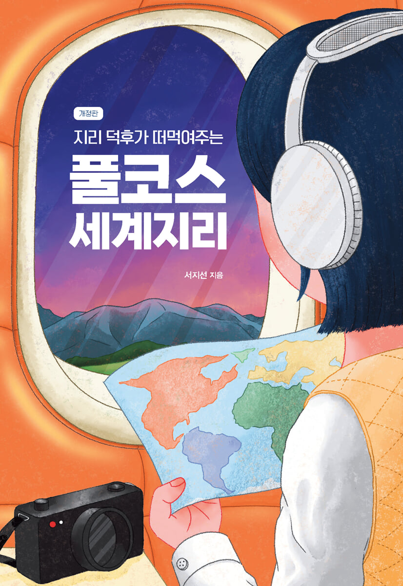
The cover features an illustration by Choi Min-geum that captures the excitement of travel.
This is an introductory book to geography and geopolitics that explains world geography, which can be perceived as difficult, from a traveler's perspective.
You can take a step forward as a world map expert without having to memorize only interesting stories from around the world.
The extraordinary fun begins for those who explore the world, allowing our eyes and feet to encounter a wider world.
The cover features an illustration by Choi Min-geum that captures the excitement of travel.
- You can preview some of the book's contents.
Preview
index
Prologue: Reading a World Map
A new journey with geography nerds as we release a revised edition.
Recommendation
Chapter 1.
The World Map We Meet Again
The Beginning of Reading the World Map: The Five Oceans and Six Continents
The story of lines reading a map
The path of the sun, the equator
The story of time difference and the International Date Line
Three factors that create climate
Daily and annual temperature ranges
Sea of Ice, Arctic
Antarctica, the land of ice
The sea has color?
Chapter 2.
Man-made world map
Flip the world map over
The logic of the world revealed on the world map
How many countries are there in the world?
Drawing the border to your advantage
Is this okay? The map is in an unstable state.
Countries dreaming of independence
Natural geography changed by humans
Even if our skin color is different, we are all Homo sapiens.
Chapter 3.
Reading the World Climate for Travelers
How diverse is the world's climate?
A harmonious blend of rain and sun, tropical climate
A wider, drier climate than expected
A feast of seasonal flavors, temperate climate
A cold climate where the sea begins to freeze
Land of snow and ice, polar climate
Never-ending spring, alpine climate
Chapter 4.
Exploring the World Map for Adventurers
The mountains and lands of the world seen with two feet
Rivers and lakes that create colorful landscapes
The sea and islands where true exploration begins
The story of a country that fills the map
A story about a city where people gather
Epilogue Reading the World Through a World Map
Appendix: A Traveler's Dream: A Checklist of 196 Countries
Detailed image
.jpg)
Into the book
As I've been reading world maps for a long time, my world has become broader.
The more I read the world map, the wider my world becomes, and I am able to face the world free from prejudice.
I also gain the power to design my own life.
--- p.5, from “Reading a World Map”
Oceania includes most of the Pacific Islands, making it a geographically interesting region.
For example, the fact that Guam, Saipan, and Hawaii, which we commonly know as American territories, belong to Oceania.
Even Japan's Ogasawara Islands are part of Oceania.
It is interesting to note that the Ogasawara Islands are part of Tokyo, Japan's administrative district.
Part of Tokyo is in Oceania!
--- p.18, from “The Beginning of Reading the World Map, Five Oceans and Six Continents”
Taiwan is a country that is located very close to the Tropic of Cancer.
If you don't want to travel to Taiwan in the sweltering heat, you should avoid July and August.
Want to enjoy a cool summer vacation? Check the Tropic of Cancer on the map and choose a location a short distance from it.
--- p.26, from “The Path of the Sun, the Equator”
There is something that is easily forgotten when you just look at a world map.
The fact is that the Earth is not flat, but a round sphere.
Then, let's turn our attention and go to the North Pole.
Let's rediscover the world map centered on the North Pole.
Siberia and Greenland may seem very far apart, but they are actually close, just across the Arctic Ocean.
The Arctic countries that seemed so far away have all become neighboring countries.
If you look at the world map centered on the North Pole, it looks unfamiliar.
--- p.52, from “The Sea of Ice, the North Pole”
Even in the 21st century, a new country is being created.
If you still have the world map you saw as a child taped to your wall, it's time for an update.
Do world maps, not navigation systems, need updates? Human history is constantly evolving, so isn't it only natural that the world maps we create are constantly evolving?
--- p.89, from “How many countries are there in the world?”
Cherrapunji, a small town in the Indian state of Meghalaya near Bangladesh, is considered the wettest town in the world, with an incredible record of 26,471 mm of annual rainfall and an incredible record of 9,300 mm of monthly rainfall.
At this point, it might feel like a disaster, not just a flood.
Looking at it this way, you might think that tropical monsoon regions have a cursed climate, but blessings and disasters come at the same time.
Because it has the optimal climate for rice farming.
In our country, only two crops were grown in the southern regions, but in tropical monsoon regions, three or even four crops are possible.
Moreover, the high altitude's daily temperature range, combined with the abundant sunlight and humidity, makes it ideal for growing high-quality tea.
--- p.141, from “The Harmony of Rain and Sun, Tropical Climate”
Georgetown, the capital of Guyana, is usually located at an elevation of -2m to -1m above sea level, and it is said that seawalls and canals are used to prevent seawater from entering the city.
Sometimes, when strong waves crash in, they can overflow the breakwater or even destroy it.
It's scary and I wonder how I'll ever live, but about 200,000 people live in Georgetown.
--- p.239, from “Stories of a City Where People Gather”
Publisher's Review
World geography, which feels difficult.
Don't worry! Geography nerds will gather the best and give you the best.
A geography nerd has stepped forward to spread the word about the charm of world geography.
This book covers everything from how to read horizontal and vertical lines on a map to climates and amazing places around the world.
Let's learn about world geography that is not only fun but also helpful for life, not just for exams or getting good grades.
The illustrations by Choi Min-geum used on the cover add to the excitement of the trip.
The geographical knowledge contained in this book will undoubtedly be a great foundation for the reader's life and travels.
Reborn with the love of nerds
How to meet and understand the world.
To understand world geography, you must first know how to read a world map.
I'm talking about the square map with the five oceans and six continents that we are all familiar with.
However, when asked where the five oceans are and what the six continents are, few people can answer without hesitation.
Can you read the horizontal and vertical lines drawn on the map? Did you know that in addition to the Yellow Sea, there are also the Red Sea, the Black Sea, and even the White Sea? Chapter 1 reveals aspects of the world map we previously didn't know about.
Have you ever seen a world map with the Atlantic Ocean in the middle or upside down? Chapter 2 explores the various types of world maps and the numerous borders that divide continents, from the perspective that maps are "human works."
Even now, there are many places around the world that are suffering from various reasons such as ethnicity, religion, and resources.
From the closely related cases of South and North Korea remaining divided, to the fierce conflict in the Spratly Islands where five countries claim different borders, to the aspirations of the Kurds wandering without a state, to the tragedy of the Aral Sea, the map contains a story more expansive than any other book.
It will be a stepping stone to understanding news from countries around the world that once seemed distant and to thinking together as global citizens.
Satisfying both adults and travelers
Useful common sense and the joy of geography.
Chapter 3 describes the world's hot, cold, wet, and dry climates.
The map, which is colorfully colored according to climate classification, may seem unfamiliar, but it is very useful for traveling once you get used to it.
You will be able to experience the diversity of nature and culture in each climate, which is roughly divided into six categories.
For each of the 13 climates, we added traveler's notes containing the experiences of those who have visited the area.
As you read, you will want to go there.
In the last four chapters, we prepared the Guinness Book of World Geography.
Where are the world's highest mountains and deepest oceans, where are the most remote islands, and where are the safest countries? Geography nerds have prepared a world map to make reading it more interesting.
Finally, we have prepared a checklist of 196 countries around the world.
Beyond knowing the five oceans and six continents, let's explore the hidden sides of the world map and pack according to the climate of your travel destination.
Let's go further and become wise travelers who experience the wonders of the Earth by crossing mountains and rivers and empathize with the cultural diversity created by humanity.
I hope this book will be an exciting opportunity to explore the world, a moment to expand the world through maps.
For adults who are 'meeting a new person'
Easy and Useful World Geography Chat
The unexpected viral pandemic has loosened or severed the world's close connections over the past three years.
Many countries have locked down their borders, and coups and wars have occurred.
Accordingly, the book was revised to focus on the content that was no longer difficult to discuss.
In particular, the parts dealing with the conflict zones of the world in Chapter 2 have been newly updated.
In compiling this revised edition, the author speaks of the power of mourning and positivity, saying, “It is with a heavy heart that I have added information about the current situation, but some areas have stabilized and some content has been omitted. Still, it seems that the world is not headed in a completely negative direction.”
Thanks to the tips from our readers, we've refined the information to provide more accurate information, and our list of 196 must-visit travel destinations has been updated with the latest trends to ensure you can enjoy the once-open skies.
GOODS SPECIFICS
- Date of issue: July 14, 2023
- Page count, weight, size: 256 pages | 472g | 152*220*20mm
- ISBN13: 9791169834582
- ISBN10: 1169834582
You may also like
카테고리
korean


korean

![ELLE 엘르 스페셜 에디션 A형 : 12월 [2025]](http://librairie.coreenne.fr/cdn/shop/files/b8e27a3de6c9538896439686c6b0e8fb.jpg?v=1766436872&width=3840)


