

GIS Theory and Practice
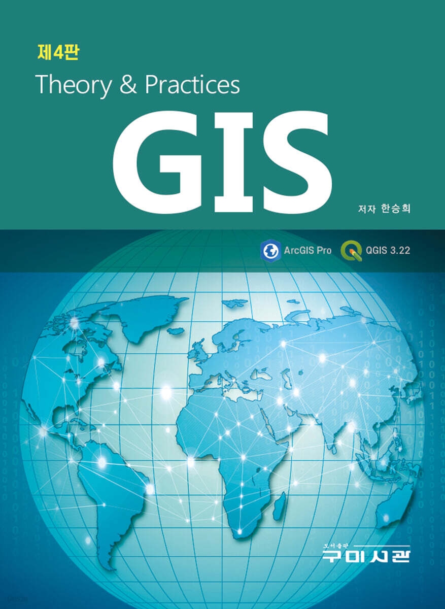 |
Description
Book Introduction
The theory section has been updated or revised to include the latest technologies and policies in each chapter.
In Chapter 4, Database, we have significantly revised the content to make it as easy to understand as possible, and have explained in more detail the characteristics and analysis of attribute data tables.
In Chapter 6, we added content on using spatial data and attribute data available from the National Spatial Information Portal and each local government's data center in the external data input section.
Chapter 8, Spatial Analysis, has been supplemented with rich content on overlap analysis and proximity calculation methods, and resource allocation has been updated.
Chapter 9's terrain analysis reinforces the principles and contents of existing 3D terrain analysis, raster DEM, visibility analysis, skyline analysis, and solar radiation analysis.
In the practical part, the previously used GIS tool was upgraded from ArcGIS Desktop 10.xx to ArcGIS Pro and explained.
As you know, the 2D and 3D tools that were operated separately have been integrated into one tool with ArcGIS Pro.
We've also added an easy way to use Model Builder for repetitive tasks.
QGIS, which has been widely used recently, has also been upgraded, and the usage method has been explained by changing the version from 3.10 to 3.22 (Long Term Release Version).
In Chapter 4, Database, we have significantly revised the content to make it as easy to understand as possible, and have explained in more detail the characteristics and analysis of attribute data tables.
In Chapter 6, we added content on using spatial data and attribute data available from the National Spatial Information Portal and each local government's data center in the external data input section.
Chapter 8, Spatial Analysis, has been supplemented with rich content on overlap analysis and proximity calculation methods, and resource allocation has been updated.
Chapter 9's terrain analysis reinforces the principles and contents of existing 3D terrain analysis, raster DEM, visibility analysis, skyline analysis, and solar radiation analysis.
In the practical part, the previously used GIS tool was upgraded from ArcGIS Desktop 10.xx to ArcGIS Pro and explained.
As you know, the 2D and 3D tools that were operated separately have been integrated into one tool with ArcGIS Pro.
We've also added an easy way to use Model Builder for repetitive tasks.
QGIS, which has been widely used recently, has also been upgraded, and the usage method has been explained by changing the version from 3.10 to 3.22 (Long Term Release Version).
index
- GIS theory
Part 1: GIS General
Part 2: GIS Data Collection and Input
Part 3: GIS Analysis
Part 4: Current Status and Future of GIS
- GIS practice
Part 1: Land Use Analysis Using ArcGIS Pro
Part 2 QGIS Practice
Part 1: GIS General
Part 2: GIS Data Collection and Input
Part 3: GIS Analysis
Part 4: Current Status and Future of GIS
- GIS practice
Part 1: Land Use Analysis Using ArcGIS Pro
Part 2 QGIS Practice
GOODS SPECIFICS
- Date of issue: March 2, 2023
- Page count, weight, size: 576 pages | 188*254*35mm
- ISBN13: 9791162572504
- ISBN10: 1162572507
You may also like
카테고리
korean


korean

![GQ KOREA Mark (Monthly): December [2025]](http://librairie.coreenne.fr/cdn/shop/files/8ef265dbbfbf186523ed75ba7319009d.jpg?v=1765340328&width=3840)


